Purpose of the project: Apply numeric integration techniques to a real-world problem.
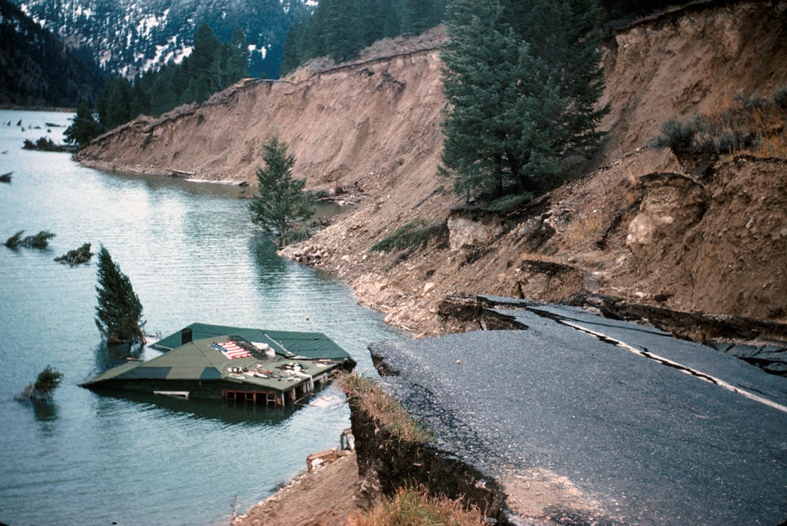
(source: library.usgs.gov, photo by J.B. Hadley)
In 1959, an 7.2 magnitude earthquake caused a massive landslide in southwest Montana near Yellowstone National Park. 28 people were killed in the quake, and the landslide created a natural dam of the Madison river which created a new lake called Earthquake Lake or Quake Lake. See this travel blog for some additional photos and diagrams. The area where the land slid away is still mostly barren of trees today.
The main question behind this project: roughly how much volume of rock and earth was moved in the landslide?
- What are some possible ways to figure how much volume?
- Using Google Earth and USGS topographical maps, give a very rough estimate of how many cubic meters or cubic feet of earth was moved in the landslide.
- Find an online reference for the volume of the landslide. Is your number high, low, or just right? Can you guess why your estimate was off in the direction it was?
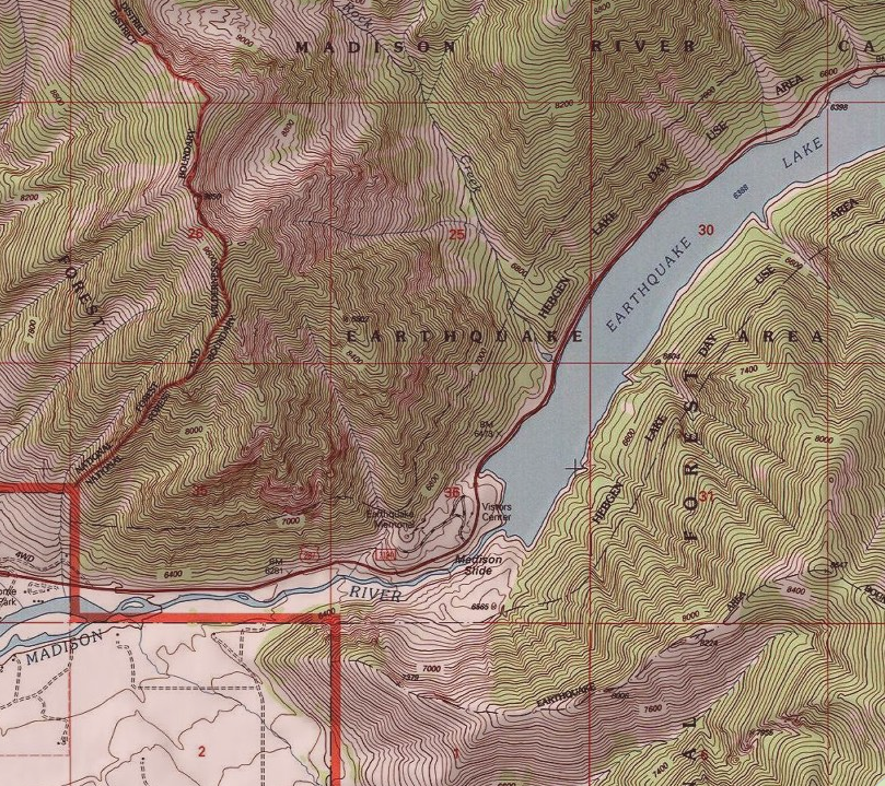
(source: https://ngmdb.usgs.gov/topoview/ )
Above is a topographical map of the area today. Below is two pictures zoomed in of the same area, right where the rock slide occured. The left image is an older map from before the rock slide, and the second is the same newer map image from after the rock slide.
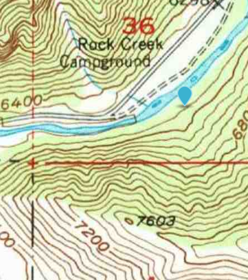
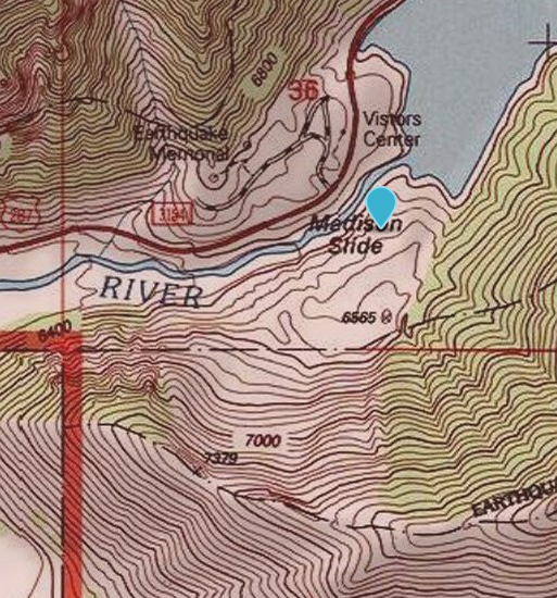
(source: https://ngmdb.usgs.gov/topoview/ )
